Map Room
LITHUANIAN MAPS


Above are the links to three pages of Baltic maps, each page contains four large maps with captions. Please be patient while the entire page loads. These pages will open in their own windows due to the size of the maps.
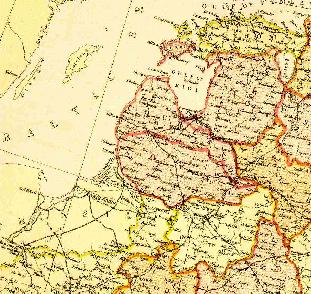
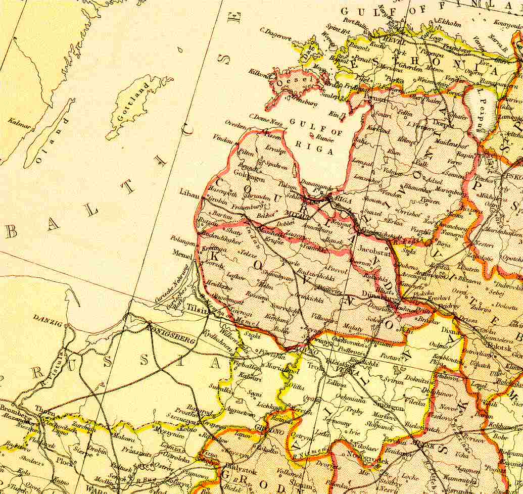
This page from an 1882 Atlas illustrates the disappearance of Lithuania and it's borders, after Russian control. Click the image above to view the "Baltic Provinces of Russia". This map is very large, to help you navigate around the map, it will open in a new window.
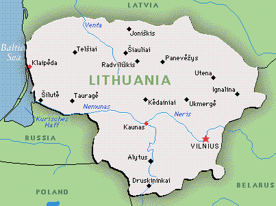
A small map of modern day Lithuania.
EUROPEAN MAPS
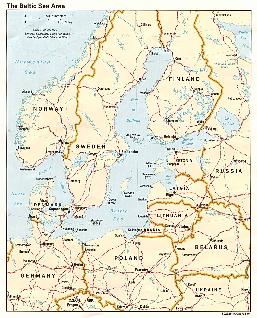
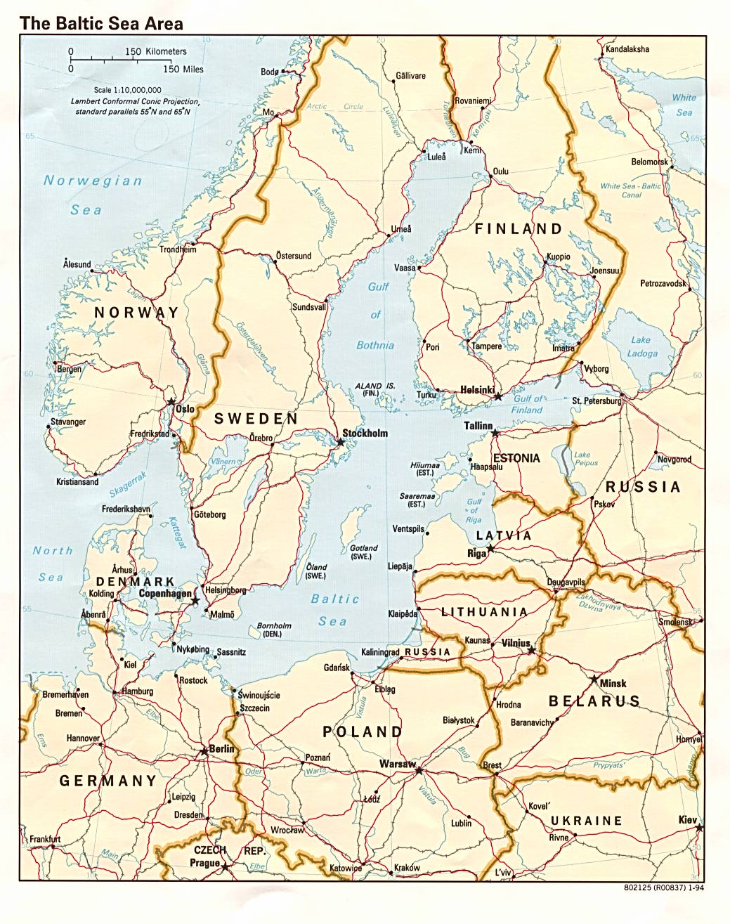
This is an excellent map of the entire Baltic Sea region, as it appears today. Because of the map's size, it will open in a new window. Please be patient while waiting for the page to load.
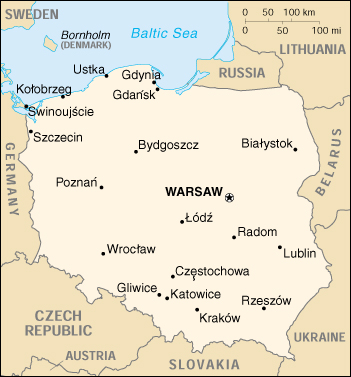
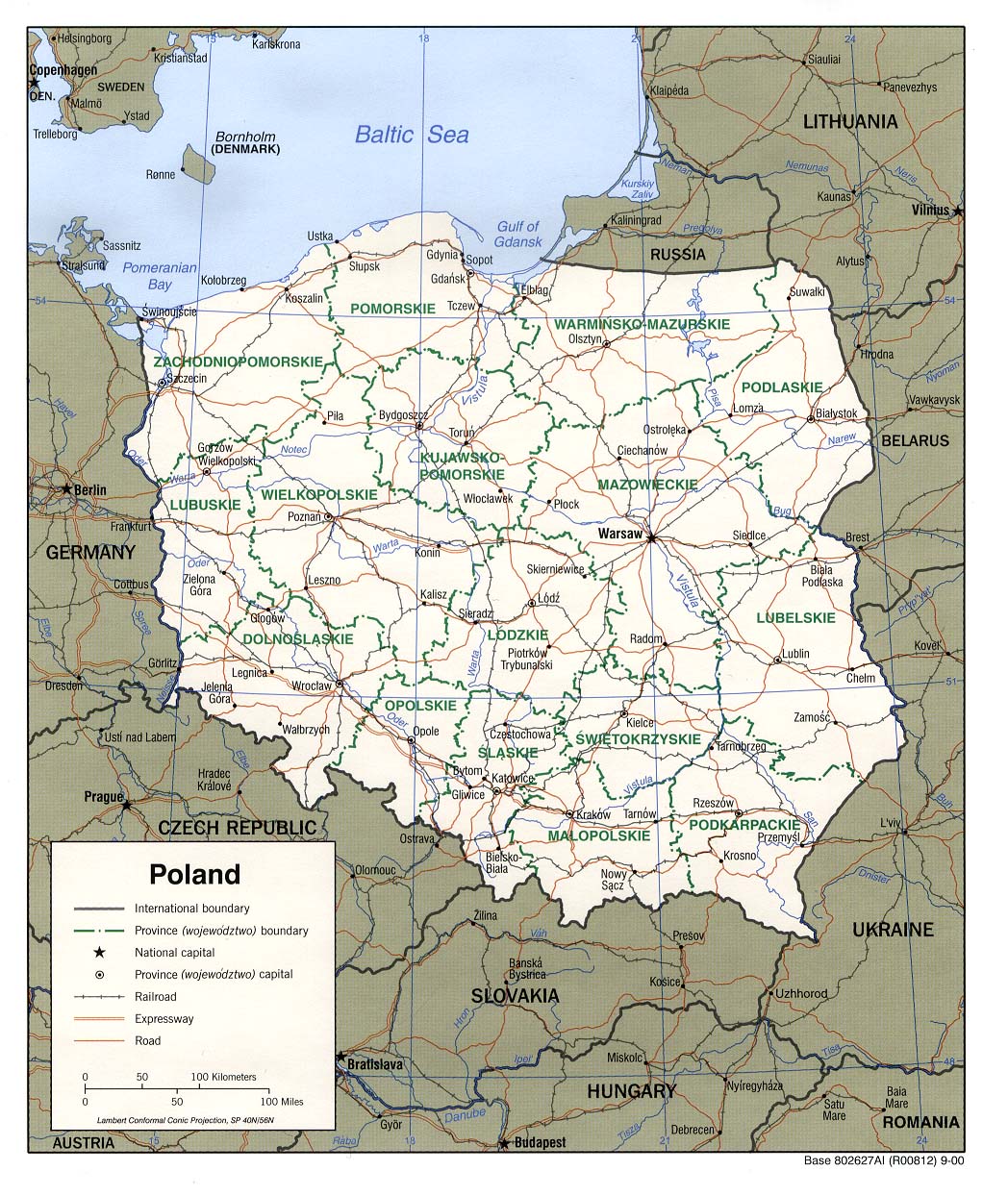
A small map of modern day Poland.
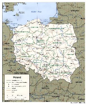
This is a large political map of Poland. Click on the image above to view this map in detail. Please be patient while the map loads.
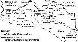
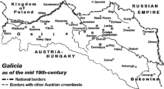
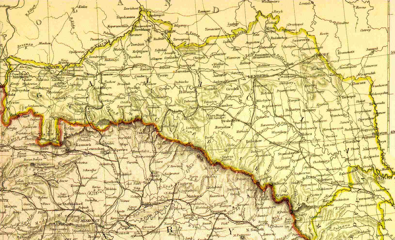
Click the image above to view a black & white map of Galicia in the 19th century.
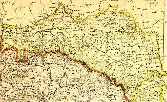
This is a detailed map of Galicia in 1882. Click on the small map for a large version.
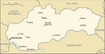
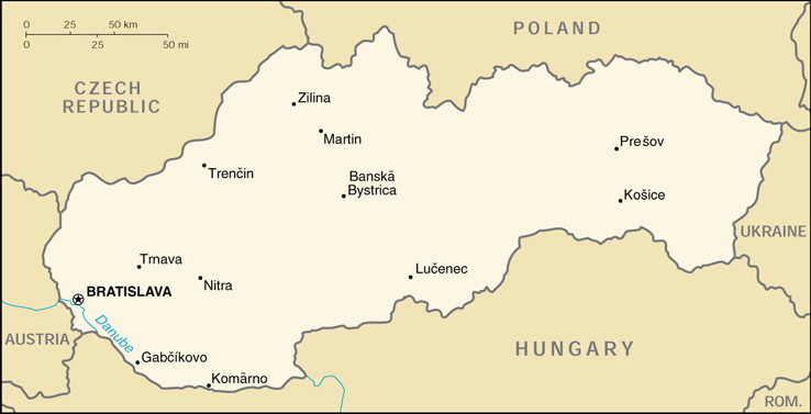
A small map of modern day Slovakia. Click on the map for an easier-to-read version.
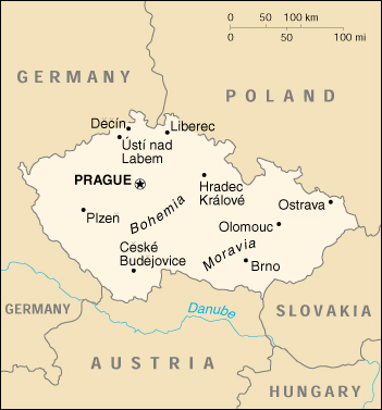
A small map of modern day Czech Republic.
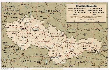
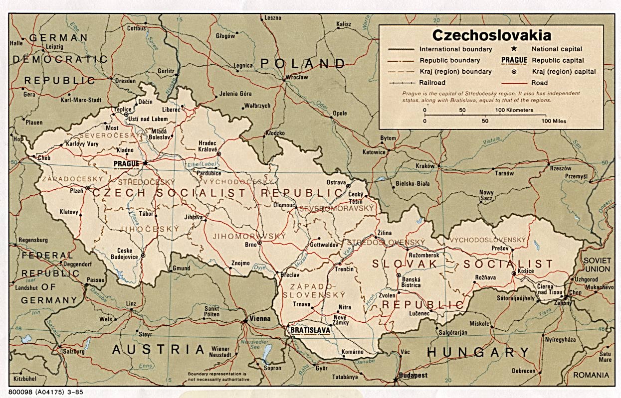
Click on the image above to view a map of Soviet controlled Czechoslovakia in 1985. This map is large.
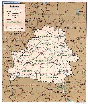
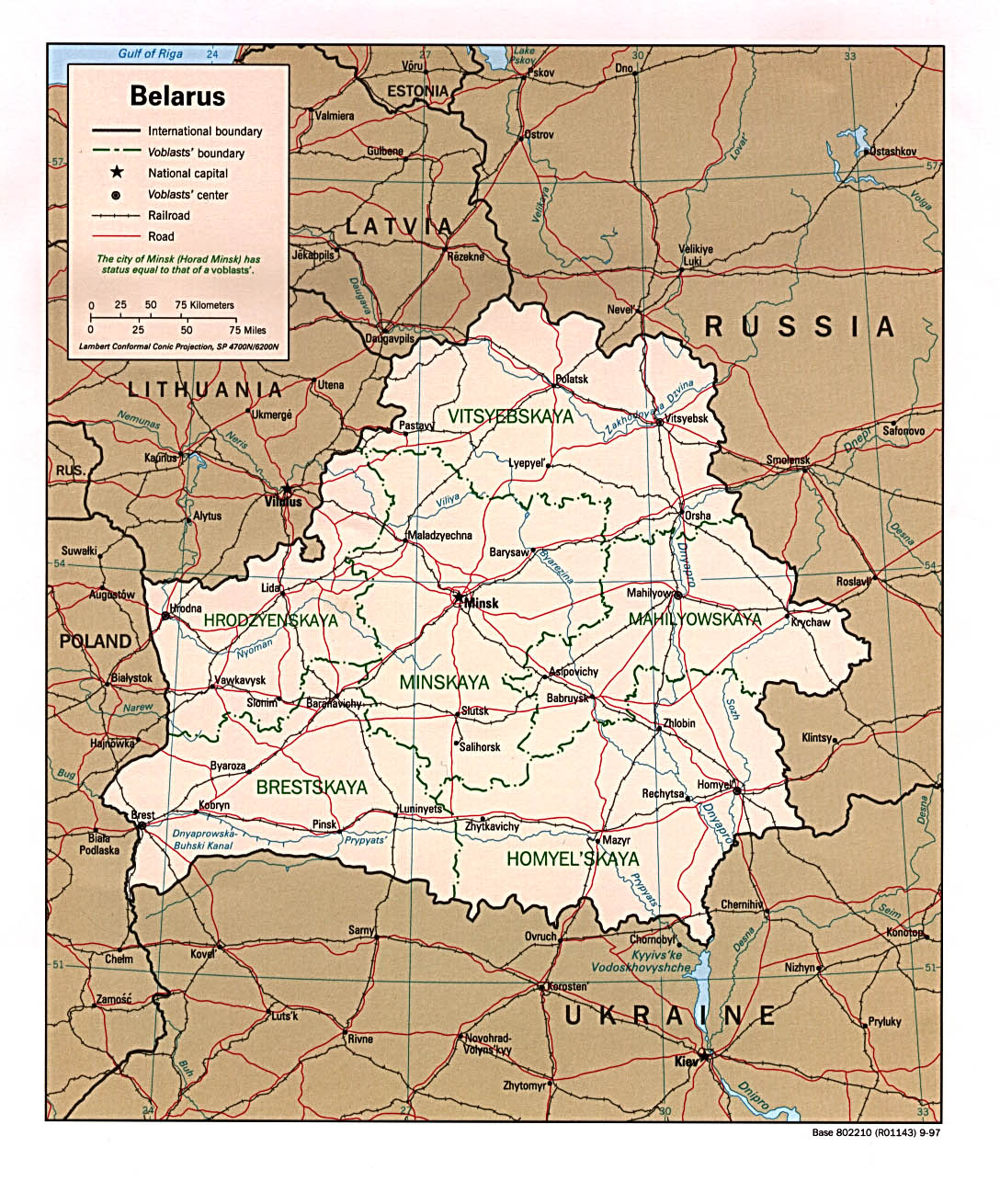
The map above is of modern day Belarus. Please be patient while the map loads.
PENNSYLVANIAN MAPS
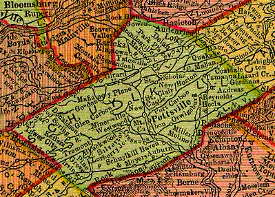
Schuylkill County 1895
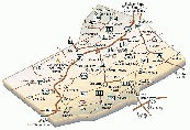
Click the small image above for a larger map of present-day Schuylkill County.
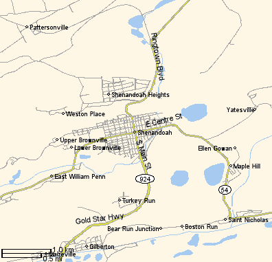
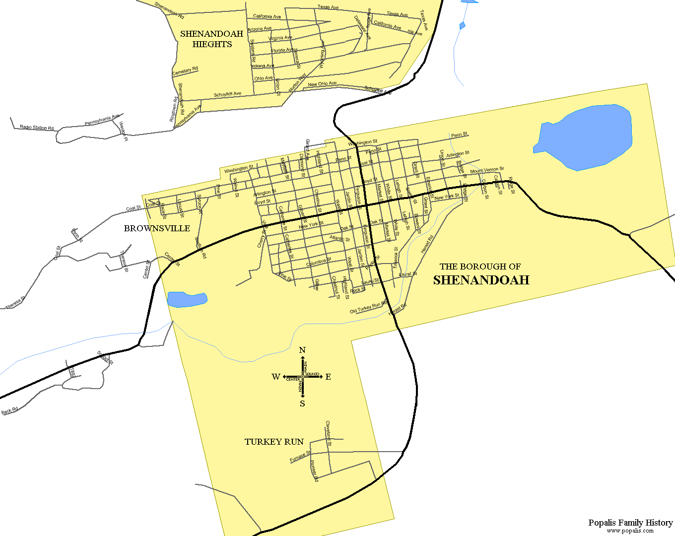
A small map of the Shenandoah area.
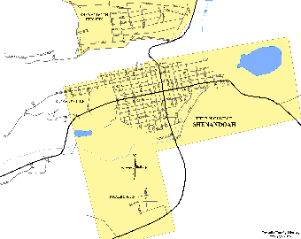
To examine a large map of present-day Shenandoah just click the image above. The map will open in it's own window because of the size.
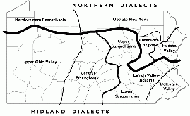
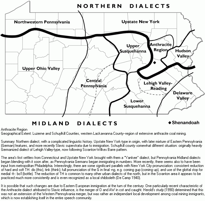
Pennsylvania is a commonwealth of dialects. Click on the image above for a large dialect map and an explanation of the Anthracite Region dialect.